Climate Change and Climate Resilience in New York City:

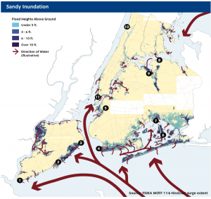
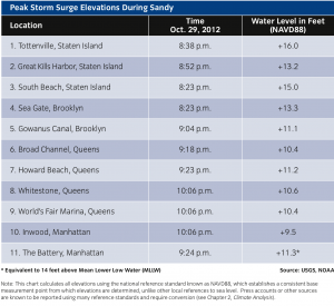
New York City realized its vulnerability to the ocean initially after Hurricane Sandy occurred in 2012. With a large part of the city along the coast, how coastal protection proceeds needed to make a change. Rising sea levels and increasing storm intensity are two of the highest concerns in responding to the climate change challenge presented to New York City. Rebuild By Design, Bay Street Corridor, The Lower Manhattan Climate Resilience Plan, are all examples outlined by New York City as responses to the looming threat of climate change.
Planning a Resilient New York City:
This Interactive Map shows the several interventions in New York City, feel free to explore the map and click the links within to see more projects!
The Big U Rebuild by Design:
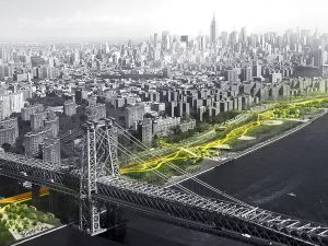
“The low-lying topography of Lower Manhattan from West 57th St down to The Battery, and up to East 42nd St is home to approximately 220,000 residents and is the core of a $500 billion business sector that influences the world’s economy. Hurricane Sandy devastated not only the Financial District, but 95,000 low-income, elderly, and disabled city residents. Infrastructure within the 10-mile perimeter was damaged or destroyed, transportation and communication were cut off, and thousands sat without power or running water. “The Big U: Rebuild By Design” is a $335 million dollar design response to the devastation Manhattan dealt with.”
The project is broken into three different phases: East River Park, Chinatown, and Battery to Brooklyn Bridge. The main themes in all of the landscapes are to have them provide a buffering zone between the disaster and the city itself. Berms are an intervention time and time again. The ten continuous mile stretch of protection for the city respond to individual neighborhood typology as well as community-desired amenities. Though the design does capture the community ideals, nowhere in the design has the input of children been involved. Involving the youth of NYC could allow them to help shape the legacy and story NYC is creating right now.
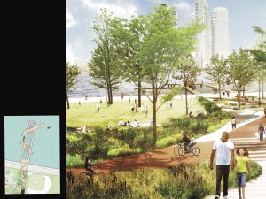
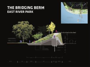
The Bridging Berm provides vertical protection for the Lower East Side from future storm surge and rising sea levels. The Berm also offers elevated routes into the park, with many unprogrammed spots for resting, socializing, and enjoying views of the park and river. Both berms and bridges are wide and planted with a diverse selection of salt-tolerant trees, shrubs, and perennials, providing a resilient urban habitat. The video below expands upon how the flood protection for the city is evolving and expanding to make New York City less vulnerable to superstorms and more resilient to climate change. It’s a bit of a long watch (45 minutes) but the information is great on understanding how we can work with communities to protect themselves from the changing climate.
http://www.rebuildbydesign.org/resources/videos/extending-manhattan-for-flood-protection
The Bay Street Corridor:
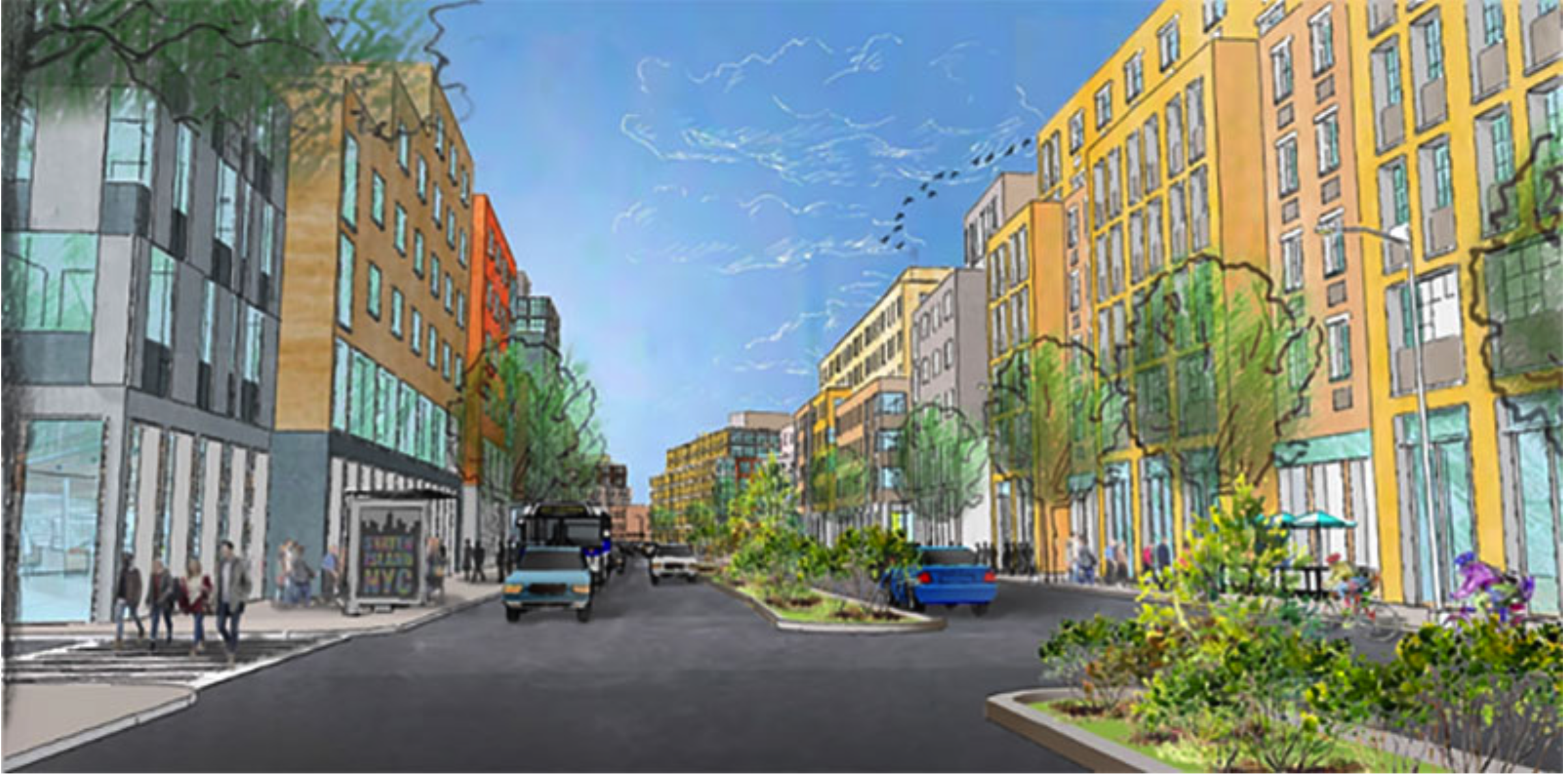
The Bay Street Corridor a series of land use actions including zoning map amendments, zoning text amendments and a disposition of City-owned property to support the implementation of the Bay Street Corridor Neighborhood Plan. As a neighborhood, it will be more resilient to climate change as well as a more resilient community base with affordable housing and mixed-use development.
Lower Manhattan Climate Resilience Study Excerpt:
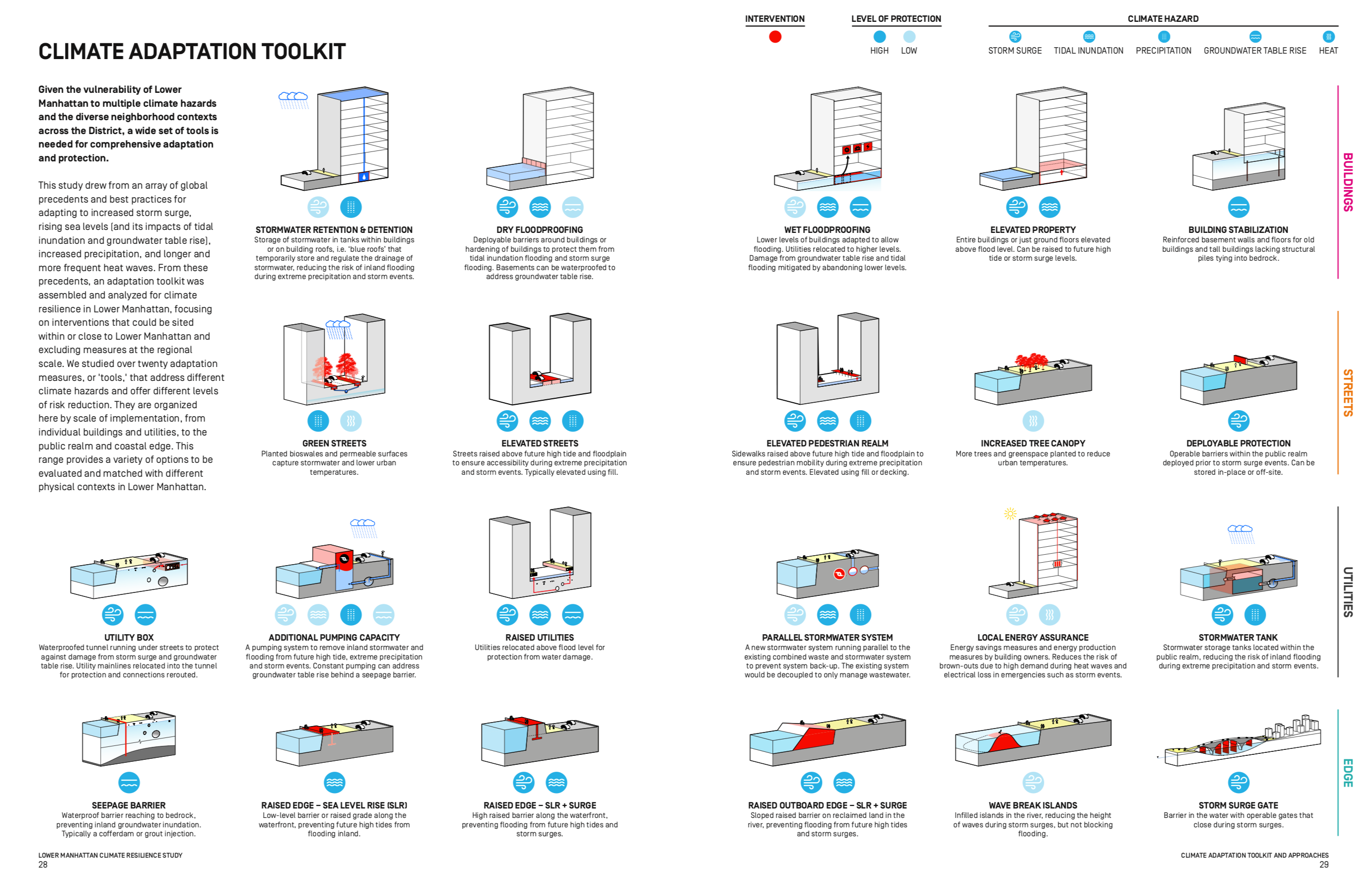
In March, 2019, Lower Manhattan released their “Climate Resilience Study” that outlines an overview of Manhattan, a climate risk assessment, a climate adaptation toolkit, and suggests different approaches throughout the city to mitigate the impacts of climate change. This page outlines the different mitigations based upon buildings, streets, utilities, and the edge of the city meeting the water. They are excellent strategies to implement in a city vulnerable to coastal damage from climate change.
Video for Climate-Smart Cities:


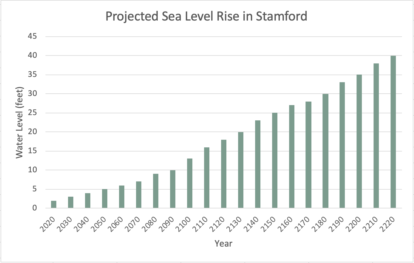
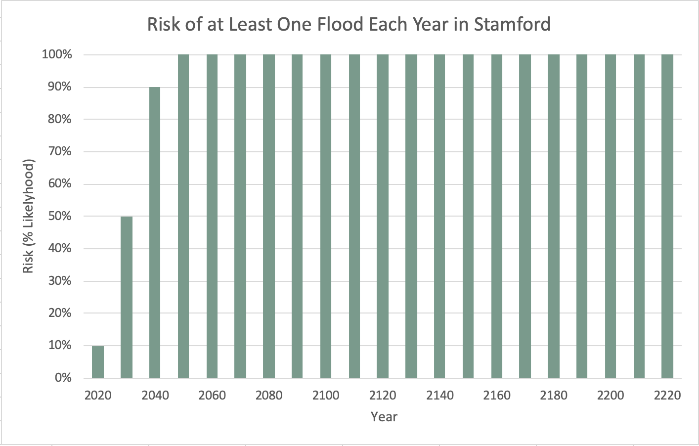
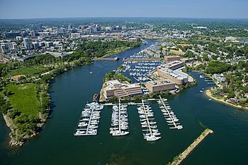
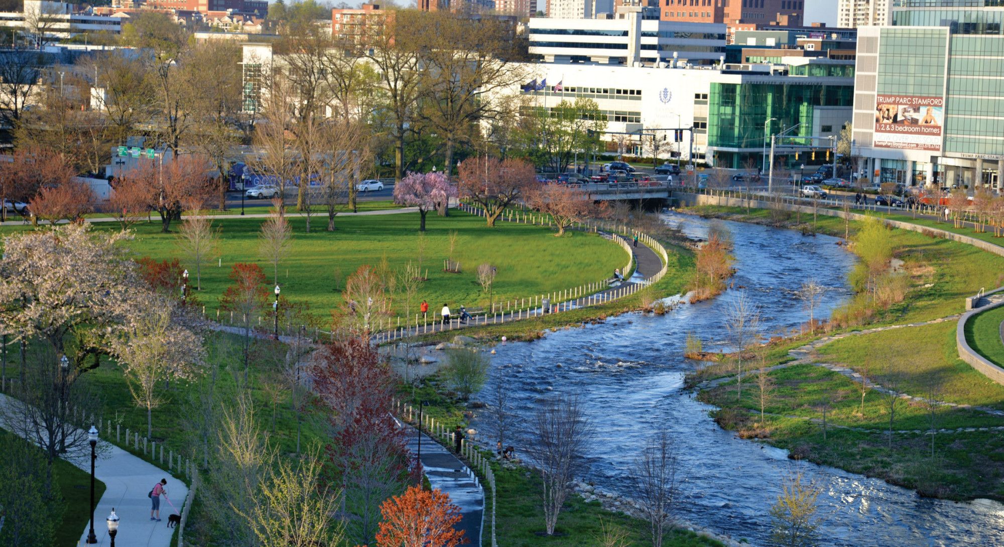
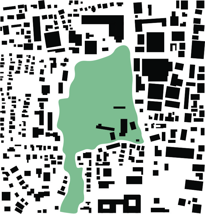
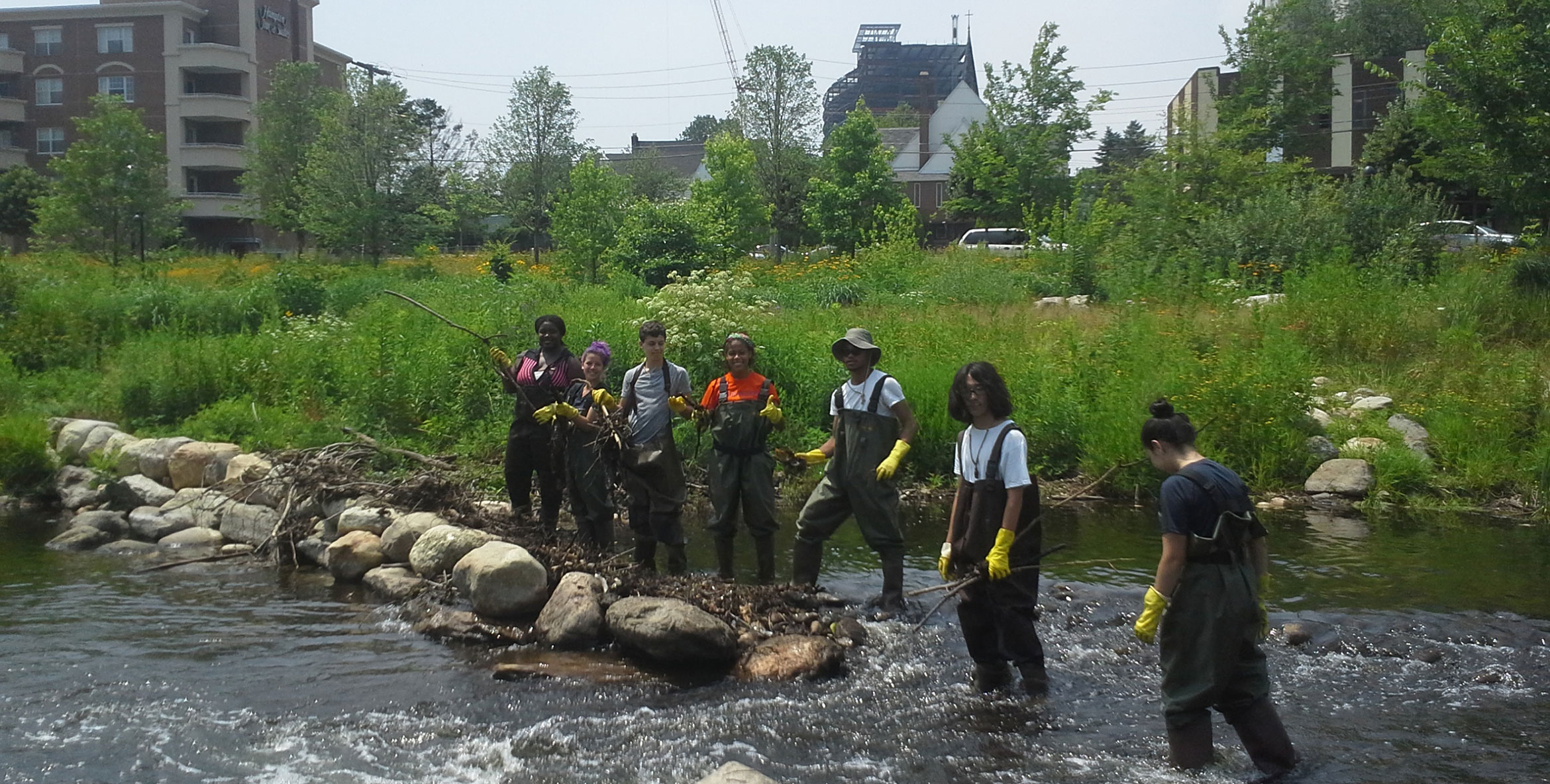
 Originally a huge risk in the city, which developed into a major green infrastructure and restoration project, Mill River Park has become a huge success for Stamford. Mill River runs through Stamford, and for years frequently flooded the downtown and other areas of the city due to issues created by dams, pollution, debris, and channelizing. The design team (lead by OLIN) tasked with the project had the challenge of designing a master plan that would both restore the river, and reconnect the city with nature.